Folded Maps
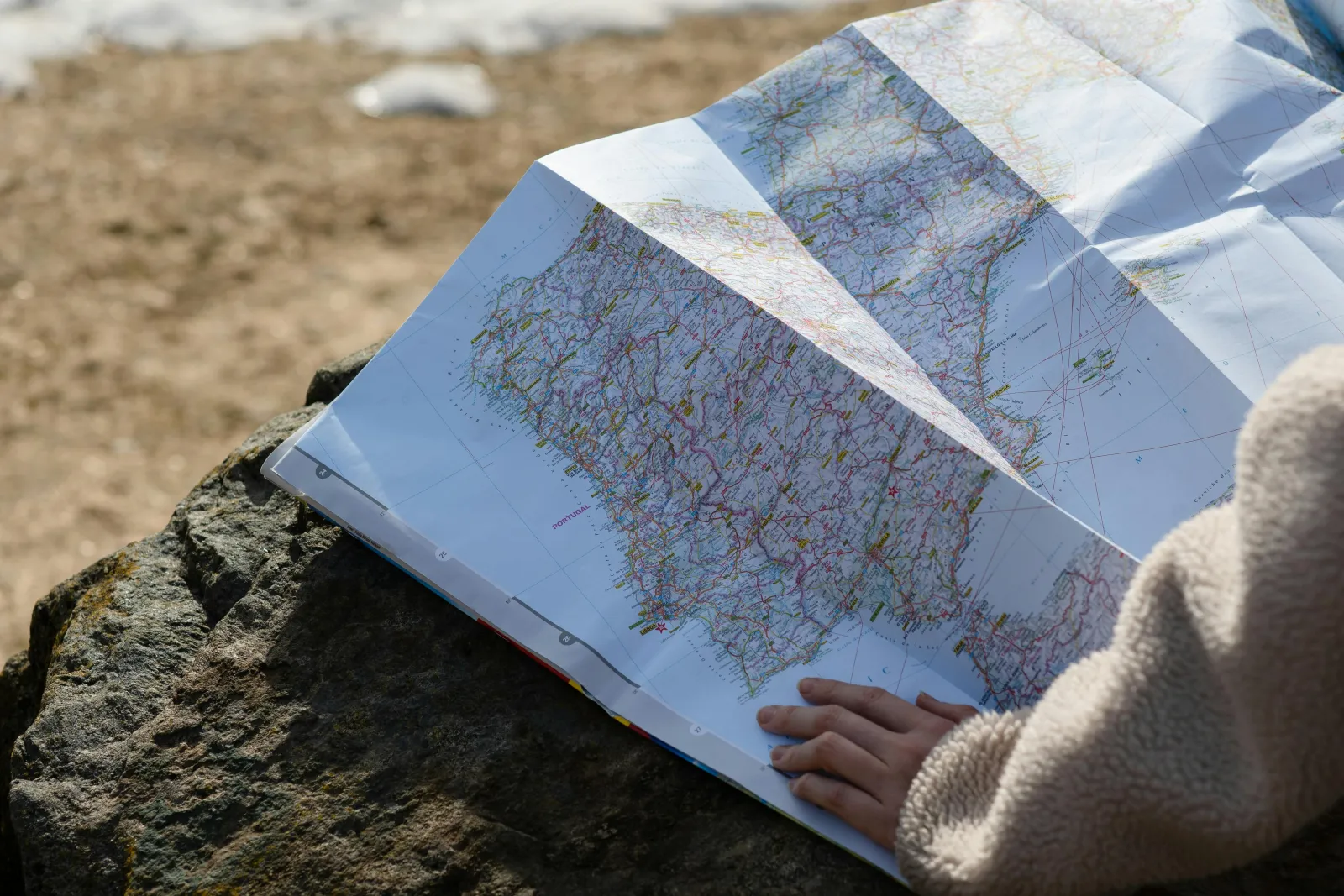
Folded maps are perhaps the most familiar type of printed maps. Their compact design makes them highly portable, which is why they have been a travel staple for decades. These maps typically provide a detailed view of a particular area, such as a city, state, or country, and are often used by travelers who need a quick reference while on the move.

Advantages of Folded Maps
Folded maps are easy to carry and can be tucked into a backpack or glove compartment. They are often designed with travelers in mind, featuring easy-to-read fonts and clear symbols. This makes them particularly useful for navigating through cities or rural areas where digital connectivity might be a challenge.
Moreover, folded maps don't require a power source, making them reliable in situations where electronic devices might fail. Their straightforward design allows users to quickly orient themselves without the distractions of notifications or screen glare. For many, the ability to physically manipulate a map provides a satisfying and intuitive navigation experience.
These maps often come with additional information, such as points of interest and local tips, printed along the margins. This added context can enrich the travel experience, providing insights that might not be available on a digital platform. Travelers can often find historical anecdotes, cultural highlights, or even dining recommendations nestled in the text.
Disadvantages of Folded Maps
The main downside of folded maps is their durability. Frequent folding and unfolding can lead to tears along the creases. Additionally, they can be cumbersome to handle in windy conditions or cramped spaces.
Another issue is the potential for outdated information. While digital maps can be updated instantly, printed maps require reprinting, which can lead to discrepancies in rapidly changing environments. This is particularly relevant in urban areas where new developments can quickly alter the landscape.
Finally, folded maps have a limited scale, which means they might not provide the level of detail needed for certain activities. For those venturing off the beaten path, a more specialized map might be necessary to provide the required topographical or navigational details.
Tear-Off Maps
Tear-off maps are typically found in tourist information centers, hotels, and car rental agencies. These maps are designed for convenience, allowing users to tear off a single sheet to take with them. They often highlight key attractions, landmarks, and services in a specific area, making them ideal for tourists looking to explore a new destination.

Benefits of Tear-Off Maps
These maps are incredibly convenient for short-term use, as they are lightweight and easy to carry. They are usually free, making them an economical choice for budget travelers. Tear-off maps are also disposable, so there's no need to worry about returning them.
The focused nature of tear-off maps means they often highlight popular tourist routes and attractions. This makes them perfect for visitors who want to maximize their sightseeing without getting lost in less relevant details. The simplicity of these maps allows users to quickly orient themselves and plan their activities.
Tear-off maps also encourage spontaneity. Travelers can easily grab a map on the go, making impromptu explorations more feasible. The availability of these maps in multiple locations ensures that tourists always have access to navigation aids, even if they misplace one.
Limitations of Tear-Off Maps
Tear-off maps are not as detailed as other types of maps. They typically cover a limited area and may lack comprehensive information. Additionally, since they are designed for single use, they might not be as durable or weather-resistant as other options.
The ephemeral nature of tear-off maps also means they are often printed on thin paper, making them vulnerable to the elements. Rain, wind, or even a simple coffee spill can render them useless. Travelers relying solely on tear-off maps might find themselves in a bind if conditions turn unfavorable.
These maps usually focus on the most popular attractions, which can lead to overcrowding and a less authentic travel experience. For those seeking to explore beyond the usual tourist hotspots, additional resources or maps might be necessary to discover hidden gems.
Map Booklets
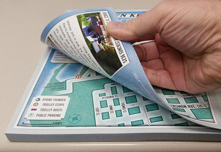
Map booklets are compact collections of maps bound together, often covering a broader area than a single folded map. These booklets can include detailed street maps, points of interest, and even public transportation information. They are particularly popular in cities and regions with extensive road networks.
Advantages of Map Booklets
Map booklets provide a more comprehensive view of an area than a single map. They often include additional information such as street indexes, tourist attractions, and transit routes. This makes them useful for both tourists and locals who need a reliable navigation tool.
The organized format of map booklets allows for easy access to different sections, making it simple to switch between detailed street maps and broader regional overviews. This versatility is particularly beneficial for travelers planning longer stays or more complex itineraries.
Additionally, map booklets often include supplementary materials like guides to local customs, language tips, and emergency contact numbers. These resources can enhance a traveler's experience by offering practical assistance and cultural insights, contributing to a more immersive journey.
Drawbacks of Map Booklets
The primary disadvantage of map booklets is their bulkiness compared to single maps. They can be heavier to carry around and may require more time to locate specific information. However, their comprehensive nature often outweighs these inconveniences.
The binding of map booklets can also be a point of wear and tear, particularly if they are frequently used. Pages might become loose or damaged, making it challenging to keep the booklet intact over time. This can be inconvenient for travelers who rely on their map booklets for the duration of their trip.
Furthermore, map booklets can be more expensive than single maps, which might deter budget-conscious travelers. Despite their higher cost, the investment often pays off in terms of the wealth of information and navigational assistance they provide.
Wall Maps
Wall maps are large, detailed maps designed to be displayed on walls. They are often used in educational settings, offices, and homes to provide a broad overview of a region or the entire world. Wall maps can be both decorative and functional, serving as a constant reference point for geographic information.
Why Choose Wall Maps?
Wall maps provide a visual focal point, making them ideal for classrooms and offices where frequent reference is needed. They are available in a variety of styles, from political maps showing country borders to physical maps highlighting terrain features.
In educational environments, wall maps serve as an excellent teaching tool, helping students visualize geographic concepts and spatial relationships. They can stimulate curiosity and discussion, enhancing the learning experience through visual engagement.
Offices and businesses use wall maps for strategic planning, allowing teams to quickly assess market regions, logistical routes, or global operations. The ability to visually communicate complex geographic data can be invaluable for decision-making processes.
Considerations for Wall Maps
Due to their size, wall maps are not portable. They require a suitable space for display, which might not be feasible in smaller areas. Additionally, they can be expensive compared to other types of printed maps, especially if they are framed or laminated.
The permanence of wall maps means they might not reflect the latest geopolitical changes or developments. While they offer a stable reference point, users may need to consult additional sources for the most current information.
Wall maps can also be overwhelming in detail for some users, making it difficult to focus on specific areas or features. The scale and scope of these maps require a broader understanding of geography, which might not be suitable for all audiences.
Specialized Printed Maps
In addition to the common types mentioned above, there are specialized printed maps designed for specific purposes. These include topographic maps for hikers, nautical charts for sailors, and aeronautical maps for pilots. Each type of specialized map is tailored to the needs of its users, providing detailed and relevant information for navigation and planning.
Topographic Maps
Topographic maps depict the terrain features of an area, using contour lines to show elevation changes. They are essential for outdoor enthusiasts who need to understand the landscape for hiking, camping, or planning expeditions.
These maps provide detailed information on natural features such as rivers, mountains, and valleys, allowing users to plan routes that are safe and efficient. The contour lines offer insights into the terrain's difficulty, helping adventurers prepare adequately for their journeys.
Topographic maps also include man-made features like trails, roads, and buildings, providing a comprehensive view of both natural and developed areas. This makes them invaluable tools for both recreational and professional users, from hikers to geologists.
Nautical and Aeronautical Charts
Nautical charts provide vital information for maritime navigation, including water depths, coastline features, and navigational hazards. They are indispensable for sailors who rely on them to plot courses, avoid dangers, and ensure safe passage through waters.
Aeronautical charts, on the other hand, are designed for pilots, showing airspace boundaries, airports, and radio navigation aids. These charts are crucial for flight planning and air traffic management, offering detailed information necessary for safe and efficient air travel.
Both nautical and aeronautical charts are regularly updated to reflect changes in environmental conditions, regulations, and infrastructure. This ensures that users have access to the most current data, which is critical for safety and accuracy in navigation.
Conclusion
Printed maps, with their various forms and functions, continue to be valuable tools for navigation and exploration. Whether you're a tourist seeking tear-off maps in a new city, a hiker using a topographic map, or a teacher displaying a wall map in the classroom, printed maps offer a reliable and engaging way to connect with the world. Despite the rise of digital technology, the charm and practicality of printed maps ensure their place in our lives for years to come.
Printed maps evoke a sense of nostalgia, reminding us of the tactile experiences of exploration and discovery. Their artistry and craftsmanship offer a unique aesthetic appeal that digital maps often lack. For many, the process of unfolding a map, tracing routes with a finger, and discovering new places is an irreplaceable joy.
Moreover, printed maps foster a deeper connection with geography, encouraging users to engage with the material world in a way that digital interfaces cannot. They invite contemplation and curiosity, allowing us to explore not just the physical landscape but also the cultural and historical contexts that maps often encapsulate.
In a world increasingly dominated by screens and instant updates, printed maps provide a refreshing alternative. They remind us of the beauty of the analog world and the enduring power of simplicity in guiding us through complex terrains. As we navigate the future, the timeless utility and charm of printed maps will undoubtedly continue to inspire and guide us. Are you looking to print custom maps? Reach out to us at 866.367.6221 or submit our quote request form and we would be happy to help.
Take care, Rick


