Full Color Map Printing Services

Ready to get started? Get a Quote!

What are Printed Maps?

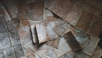
Printed maps are physical copies of cartographic representations that are produced through printing processes on paper or other materials. These maps are created using various techniques and technologies to convey geographic information in a visual and tangible form. Printed maps have been a fundamental tool for navigation, exploration, education, and communication for centuries.

Printed maps can vary in scale and purpose. They range from large-scale maps that show fine details of a specific area, such as a city or a neighborhood, to small-scale maps that depict larger regions like countries or continents. Printed maps can be produced using traditional printing methods such as lithography or more modern methods like digital printing.

Map Applications & Uses

Map printing applications and uses encompass a wide range of scenarios where physical maps are created, distributed, and utilized for various purposes. Despite the growth of digital mapping technologies, printed maps still offer unique advantages and continue to be valuable tools in many fields. Here are some common map printing applications and uses:

road map

Road Maps

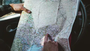
Printed road maps are widely used for navigation during road trips and travel. They provide a clear overview of highways, roads, and landmarks, helping travelers plan routes and find points of interest.

a book on a bed

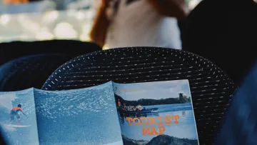
Tourist Maps

Maps designed for tourists help visitors explore new places, highlighting attractions, hotels, restaurants, and other key locations

topographic map

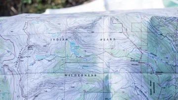
Topographic Maps

These maps are essential for hikers, campers, and outdoor enthusiasts. They show elevation contours, trails, natural features, and other information needed for safe and enjoyable exploration

a hand pointing at a map

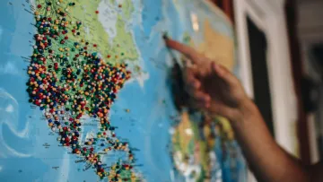
Classroom Maps

Printed maps are commonly used in educational settings to teach geography, history, and various subjects that involve spatial understanding.

a table with books and a map

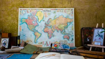
Reference Maps

Maps featuring geopolitical boundaries, physical features, and important locations are used for quick reference and geographic context.

a view of a city from a window

Planning and Urban Development

Urban planners and city officials use printed maps to visualize and analyze land use, infrastructure, and development projects.

a man and a woman looking at a piece of paper

Environmental Studies

Maps help researchers study ecosystems, biodiversity, land cover changes, and other environmental factors

a woman looking at a book

Destination Marketing

Printed maps are used by tourism boards and businesses to promote attractions, hotels, and activities in a specific area.

a group of people in a building

Event Maps

Maps created for events like festivals, conferences, and fairs help attendees navigate venues and find key areas.

text, letter, calendar

Historical Maps

Printed historical maps provide insights into past landscapes, borders, and geographical knowledge, aiding historians and researchers.

a car on a road with a cloud of smoke behind it

Disaster Maps

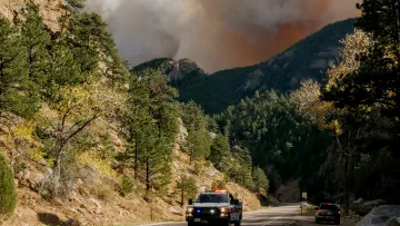
In emergency situations, printed maps can be used by response teams to plan evacuation routes, locate shelters, and coordinate relief efforts.

a man giving a presentation

Location Analysis

Businesses may use printed maps to analyze customer demographics, market potential, and competition.

a bird's eye view of a neighborhood

Real Estate

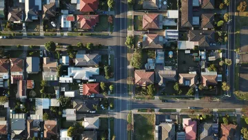
Maps can help real estate professionals showcase properties and their proximity to amenities.

Order Custom Maps with Formax 

Are you tired of using generic maps that don't meet your specific needs? Look no further! At Formax, we specialize in creating custom maps tailored to your requirements. Whether you need a map for a business presentation, a travel guide, or any other purpose, we have got you covered.

With our expertise and attention to detail, you can trust that the final product will be exceptional. Don't settle for ordinary maps when you can have a custom-made masterpiece. Contact us today and let us bring your vision to life!

Map Printing is a Specialty

Map printing requires specialized presses that can handle large sheets of paper. Plus, if the maps are to be folded down, additional equipment is needed to apply a series of accordion and parallel folds. It is the need for special presses and folding equipment that explains why relatively few printers are able to produce large maps.

Are you in search of top-tier map printing services that combine precision and quality? Look no further. Our map printing services are tailored to bring your cartographic visions to life with unparalleled accuracy and detail. With cutting-edge technology and a dedicated team of experts, we specialize in delivering map printing solutions that exceed expectations. Whether it's a vintage treasure map, an intricate urban blueprint, or a sprawling geographical chart, our state-of-the-art printing processes ensure every contour and landmark is showcased vibrantly. Explore our range of customizable options and experience the epitome of map printing services. Your journey towards captivating cartography begins here.

If you need map printing services, Formax Printing Solutions can assist you. We can print custom 1-sided or 2-sided maps to your exact specifications (250 piece minimum). If you choose, we can also fold your map down to a compact and easy-to-handle size. Just give us a call at 866-938-3757 or submit our quote request form to discuss your map printing project in more detail.
How to Print a Custom Map in 7 Easy Steps

a person typing on a laptop

1. Gather your content and information

Start by collecting all of the content and images you've prepared for your project. This ensures you have everything ready for the next steps.

a person holding a tablet

2. Design Your Project

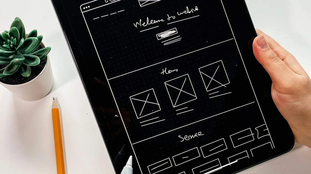
Arrange your project content into a print-ready PDF file. Pay attention to the layout, making sure it's correct and engaging.

a stack of files

3. Give Us The Specifications

Fill in the details of your project including binding type, size, quantity, page count, ink color, and paper type on the provided quote form to receive an accurate estimate.

a person using a laptop

4. Upload Your Work

Once your PDF is ready and meets the printing requirements, we'll upload it using the designated form.

a person using a laptop

5. Proofing

After submission, we will review your file. We will then send you a PDF proof for your approval or any necessary revisions

a close-up of a car engine

6. Printing Approval

Once you approve the PDF proof, the printing of your project will be scheduled.

a person pushing a cart

7. Delivery

After printing, your project will be delivered to your doorstep, ready for you to enjoy and distribute